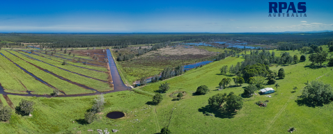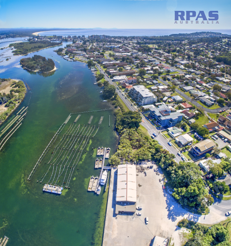

RPAS Australia provides Local Scale Mapping & surveying to assist in Environmental Impact Assessment Statements (EIS) and Development Control Plans (DCP).
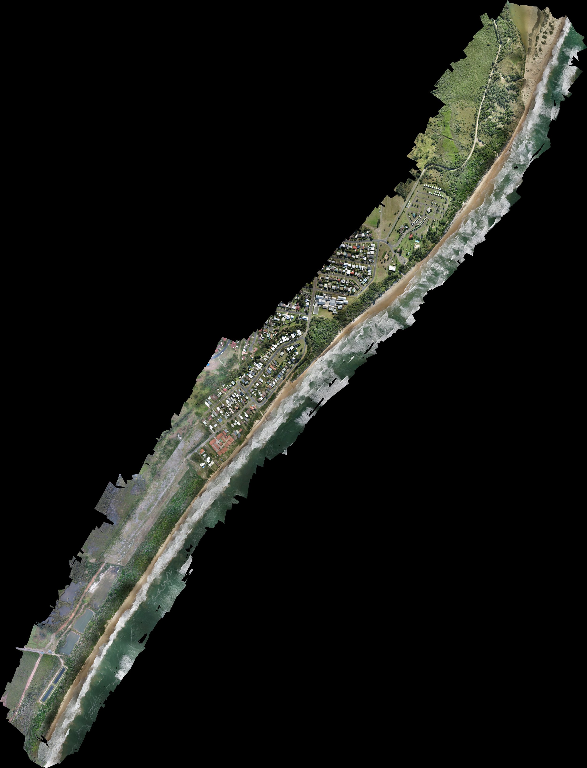
Since our UAV's fly so low (less than 120m) the resolution is significantly higher than a commercial satellite or plane. On average one screen pixel represents 2-5cm on the ground!!! With 3cm Precision Point Positioning (PPP) GPS accuracy.
RPAS Australia can map, model & survey:
Quarry lease extensions,
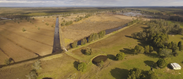
Properties, even single paddocks
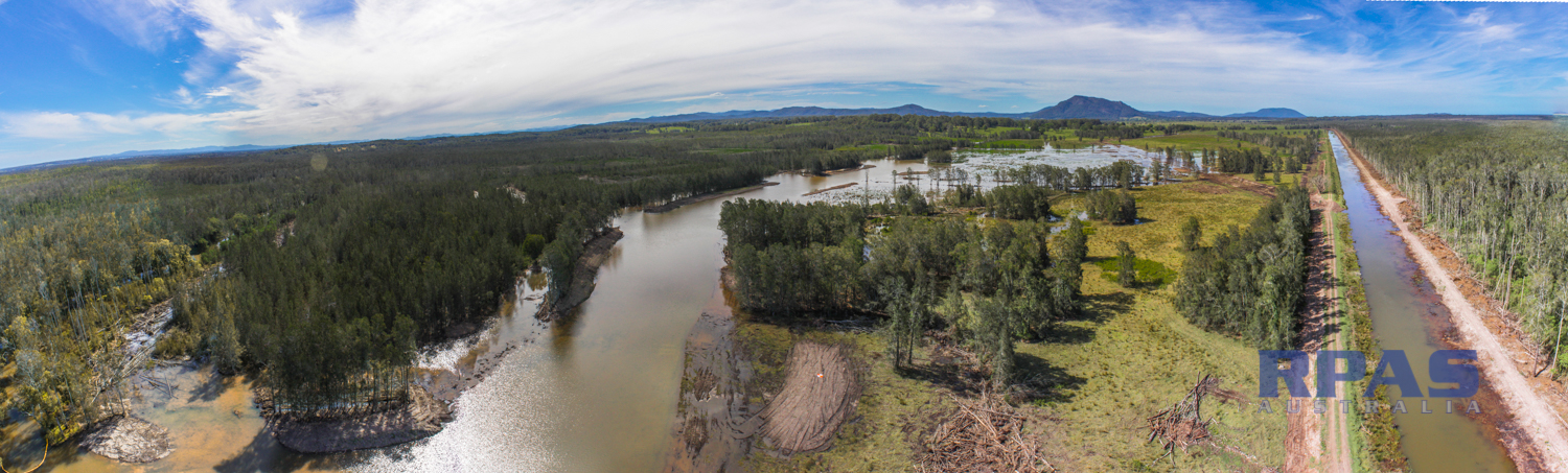
Corridors & rights of way
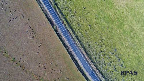
Roads and rails routes
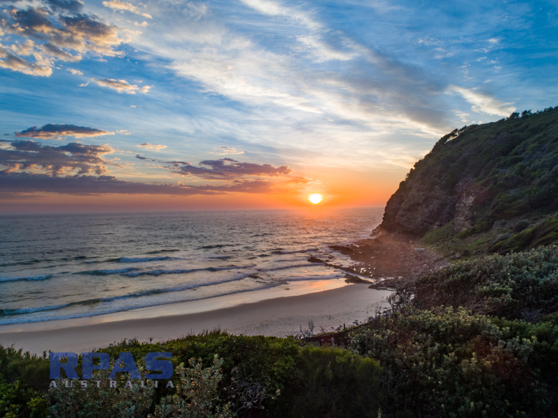
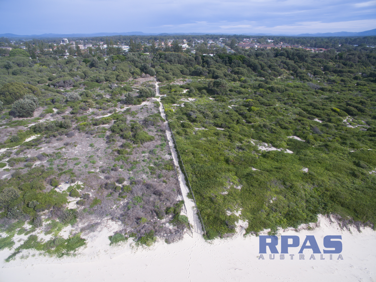
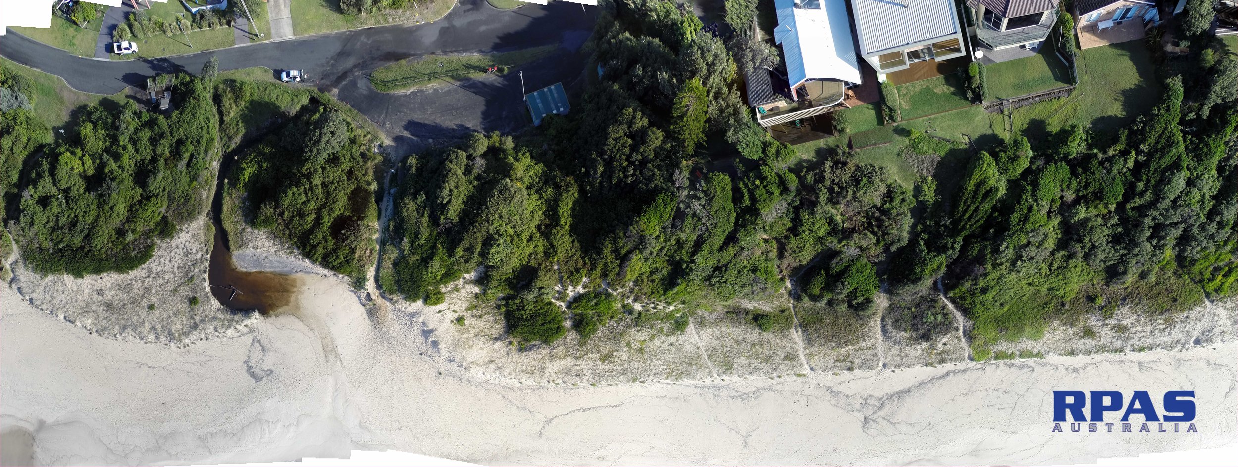
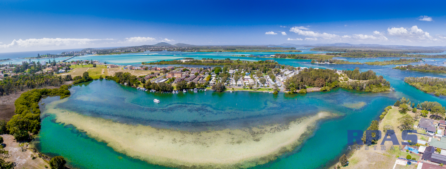
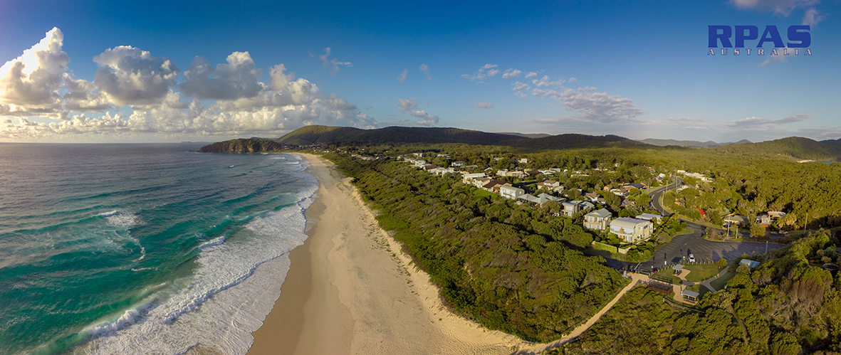
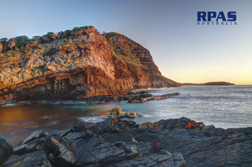
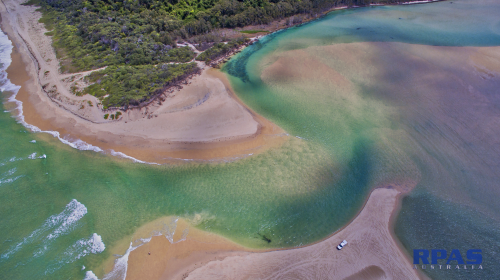
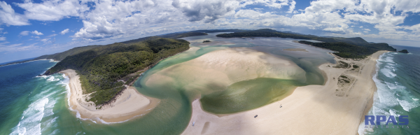
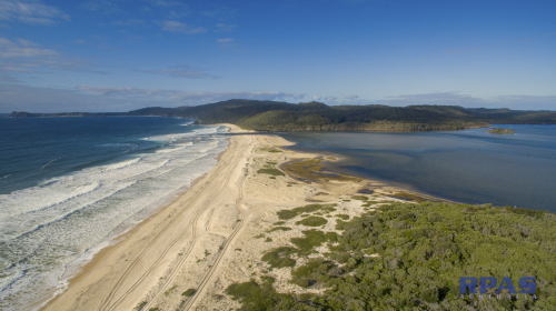
Cliff and Coast line
Parcels in the sub 10km2 size - we also coordinate mapping of larger parcels in the 100's of square kilometres if required.
We foster building relationships with Environmental Consultants and likeminded environmental stakeholders. RPAS Aust services can help consultants develop winning data rich proposals, strategies and assessments. These projects may be single assessments or ongoing Monitoring, Evaluations and Reporting (MER) projects.
Environmental Impact Studies
Coastal Management Areas
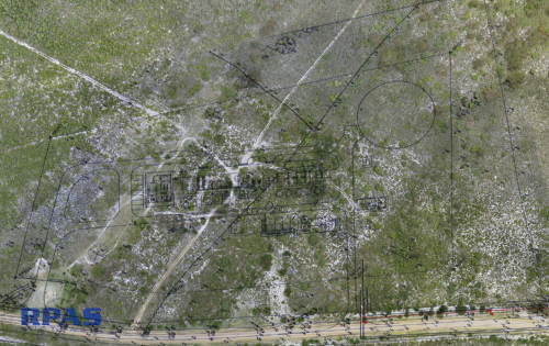
Post Bushfire assessments
Assessment for land change of purpose
Quarry and mine proposals
High intensity farming practices
Forestry
Rehabilitation
Traffic
Wind & Solar farm proposals
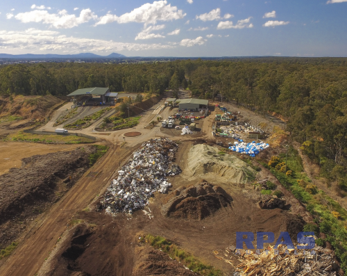
Waste & pollution management
Soils erosion management, water course analysis
Geological Assessment
Estuarine & Coastal Processes
Flood Management
Coastal Sediment budget
Coastal Geomorphology & engineering
Coastal hazard & risk assessment
Coastal wetland & littoral forests
Cliff & slope stability
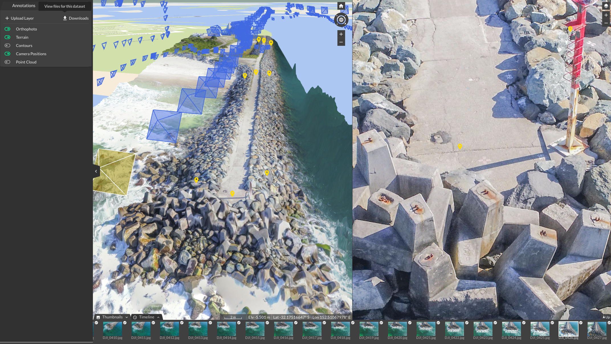
Seawall and levees modeling
Entrance management
Foreshore erosion, deposition and reclamation
Acidification
Deliverables options:
Longitudinal aerial survey monitoring - eg Work As Executed (WAE)
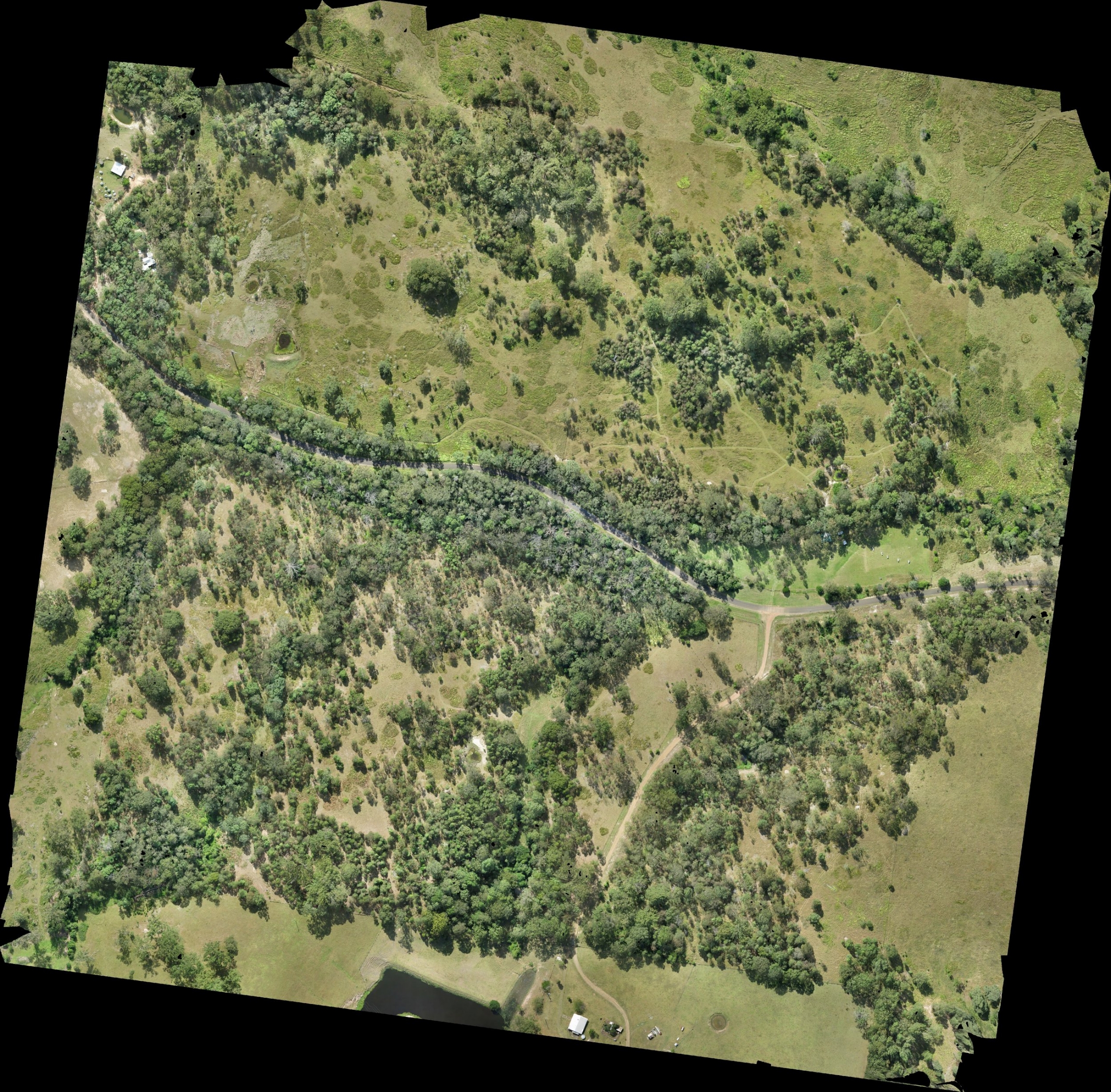
Digital Elevation Models (DEM - includes veg, buildings) and Digital Terrain Models (DTM - ground)
Contour creation
Georectified orthomosaic imagery
Nidar & oblique stills and video - visual communication to stakeholders
Ground truthed photos and video
Film Production - documentary, promotional, interviews, consultation meetings
Cut and Fill calculations for earth works, sediment cells
Planning of infrastructure, corridors and rights of way, fence line, measurements of area, perimeters and other quantity based costing.
Catchment forecasting, Gradient calculations.
Line of sight and radio transmission signal calculating for remote sensing equipment or visual pollution.
GIS, CAD and Google Earth compatible files to any required Coordinate Reference System

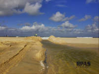
Not long after…( 12 months )