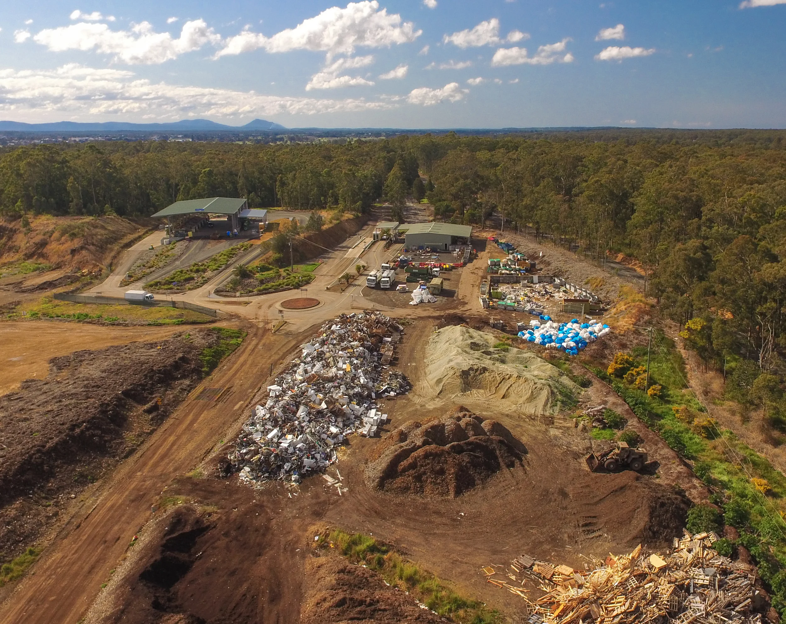
Progressive surveyors are choosing to use Remotely Piloted Aircraft (RPA) services as the preferred tool for volumetric surveys of waste management facilities. For good reason.
Reduced WH&S issues - stand in one spot, survey everywhere
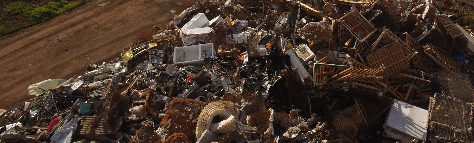
Perfect for the Dull, Dirty and Dangerous inspection duties
Minimal on-site time - often 1 hour
Data turn around time: a day or two - not weeks
Cost effectiveness - one man & a drone
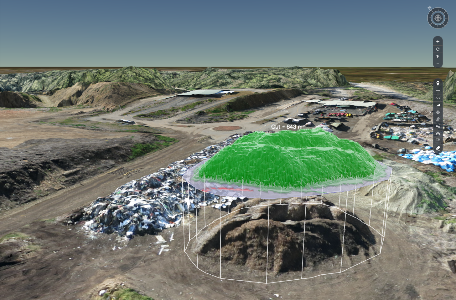
Capture Millions of points, not hundreds.
Accuracy - 2cm-5cm (see) Ground Control Points GCP
Aerial survey data in the form of Ortho imagery and DXF files help the registered surveyor complete the EPA Waste Facility reporting requirements.
'Topographical' maps compared to 'Orthographic' maps, are time consuming, costly and slower to appreciate the site context. Experience the data with this demo Landfill site
Topographic - Drafting courtesy of Lidbury Summers & Whiteman surveyors (Forster,NSW)
Photogrammetry Orthographic - Drafting courtesy of Lidbury Summers & Whiteman surveyors (Forster,NSW)
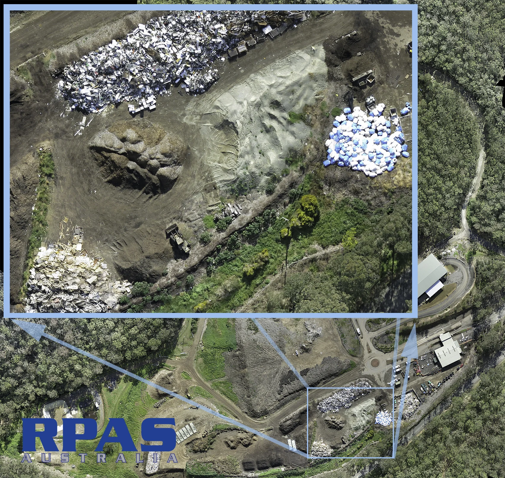
Remotely Piloted Aircraft (RPA) provide high resolution aerial imagery, useful for multiple purposes after the survey has been completed.