


1
2
3
4
5
6
7
8
9
10
11
12
13
14
15
16
17
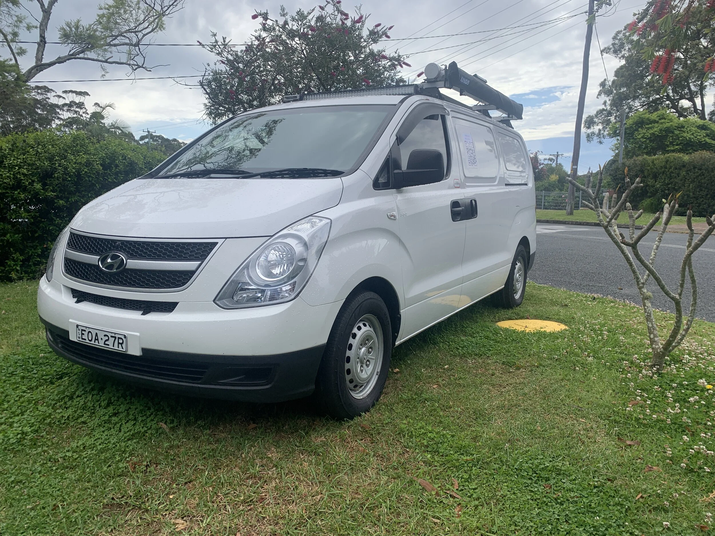
RPAS Australia Uses the latest UAV / Drone technology to captures high resolution aerial imagery. For all your aerial imagery, mapping surveys, inspection, GIS mapping data needs.