Working in the NT - Bush camping style

Working for a northern Territory Consulting firm, IMECNT we performed aerial survey capture using both LIDAR and Photogrammetry of the Larapinta Drive (West of Alice Springs) and catchment ranges to the South. From Areonga to Kings Canyon village. The weather was challenging at times for the drone operation. Drone operator - Troy Fardell

Rural Fire Service (RFS) NSW - Certified pilot

Finally 10+ years after joining the RFS with the view to use drone in the RFS, I am one of the chosen 54 pilots across NSW.

Drones will be a game changer this 26-27 fire season given the drying out of the landscape with a claimed ‘Godzilla’ El Nino impacting the east coast.

This capability will allow night operations to enrich the situational awareness of the fireground especially pre-dawn deployment of resources.

RFS UAV teams are used for mitigation, search and rescue SAR, structure fire Situational analysis and flood assistance.

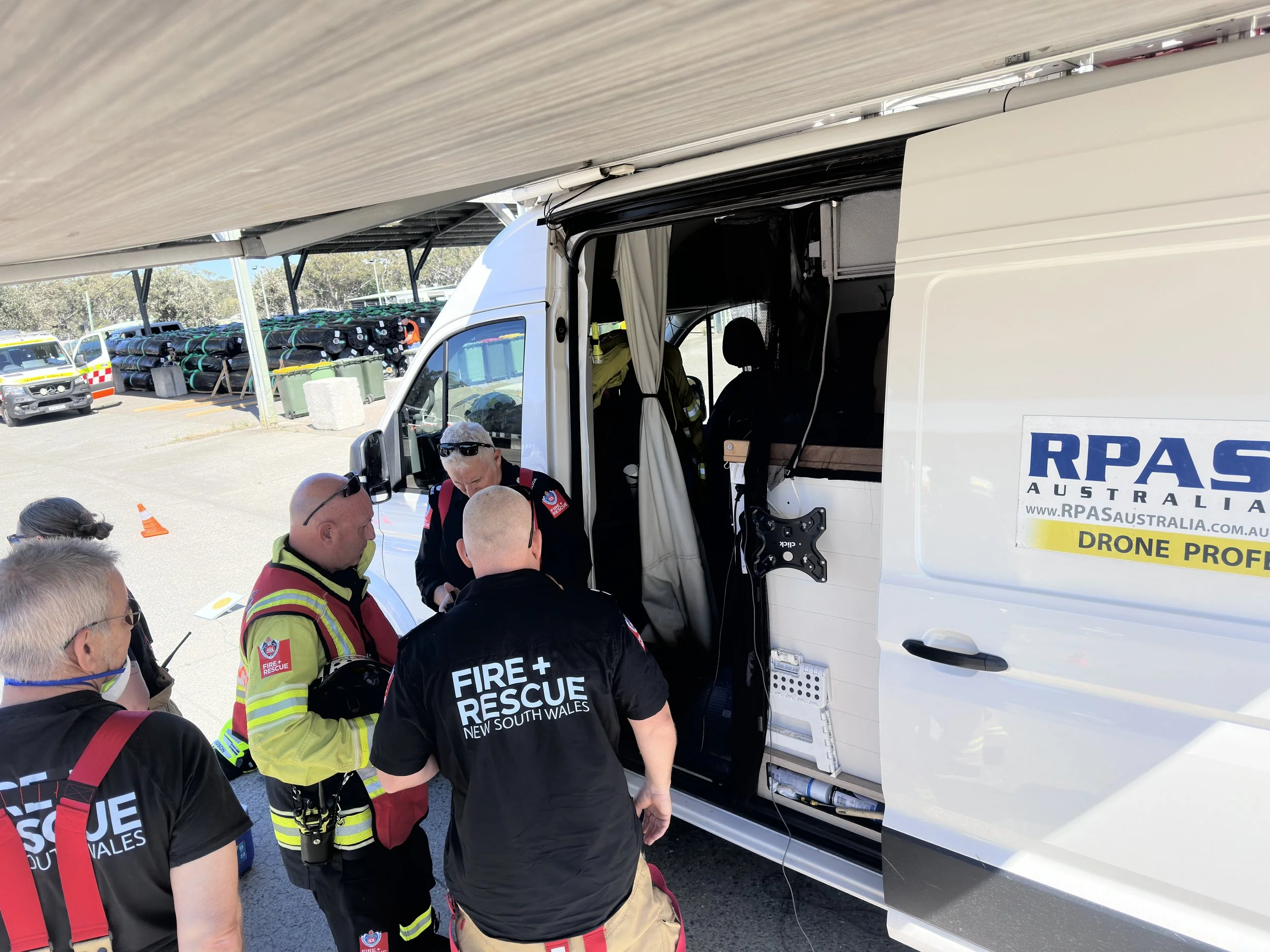
Drone Fire & Rescue

Thermal Drone - Ecology survey

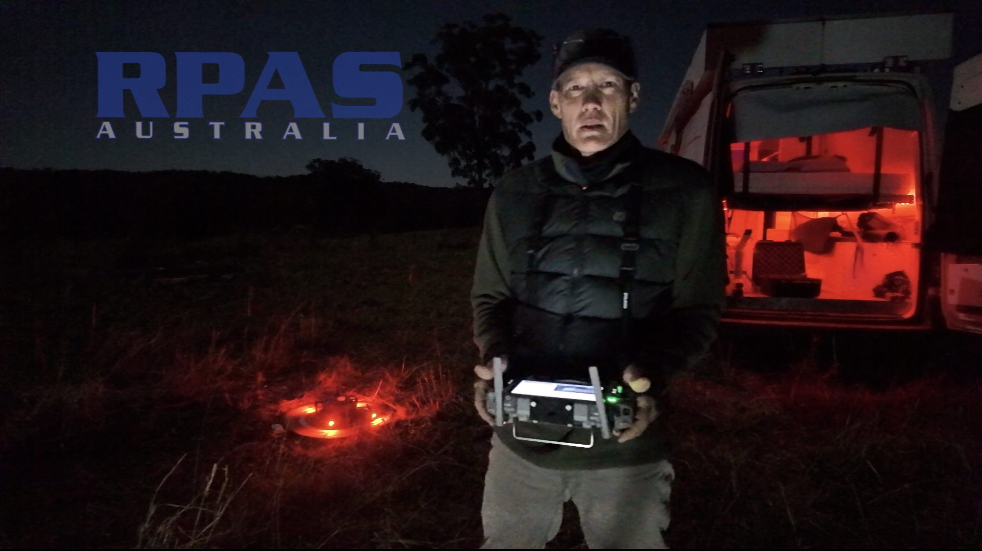
These days a a landholder needs an ecological survey for a change of land use application. RPAS Australia recently surveyed a small (14ha) parcel of bushland on a larger property with the intent to find and count koala and glider presence.

This is best performed when the ambient temperature is low and therefore early in the morning (midnight to dawn). Night flying has its own unique operational risks. To mitigate these, arriving during daylight to familiarise ourselves with the terrain and hazards is necessary.

It is cold, quiet and a slow process but often peaceful.

Ecological survey - Thermal Drone

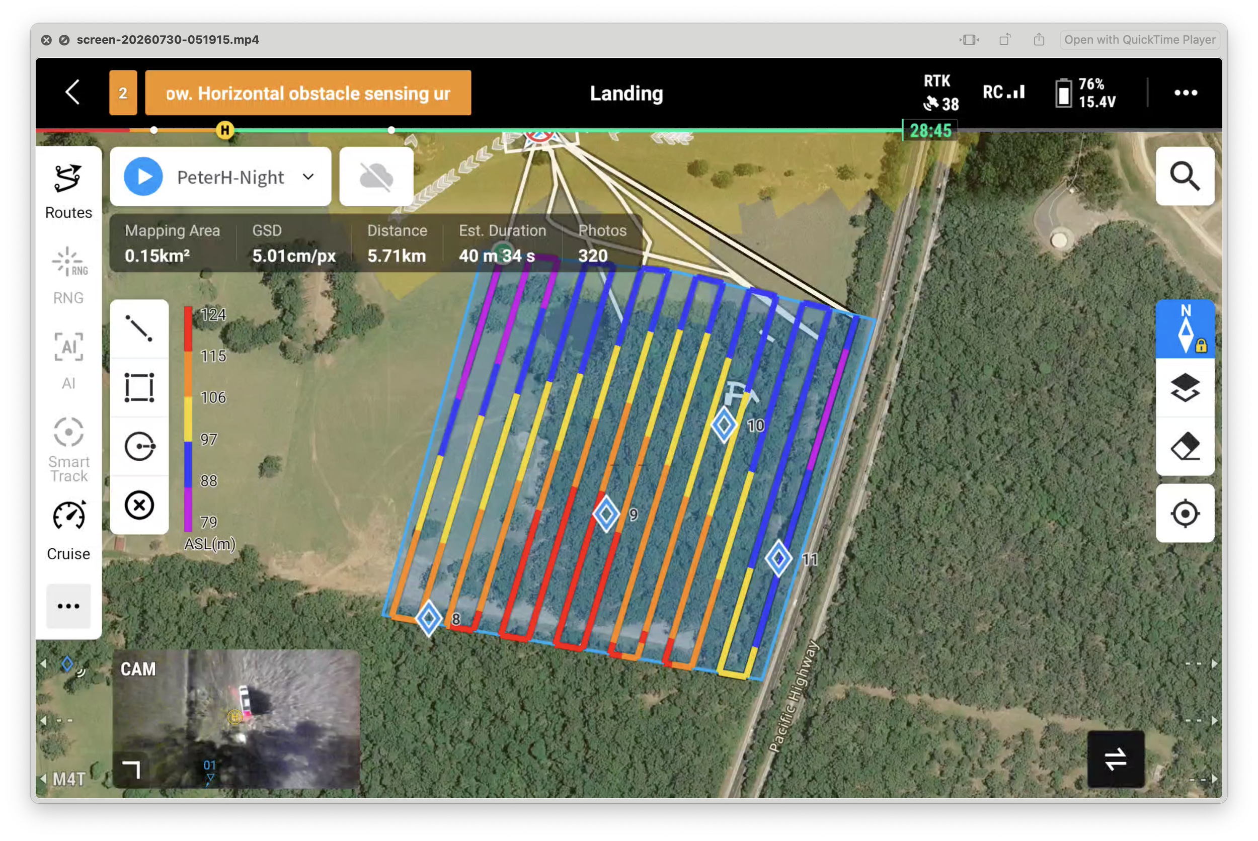
Ecological drone survey map

Gloucester Shire Council

This week saw us performing a number of aerial mapping missions in the Gloucester NSW countryside for the council. Simply beautiful rolling hills and tons of great little water crossings. The primary purpose was to create 3D models of each roadside quarry for the drafting of mine plans. These mine plans will provide a safe and efficient utilisation of the resources.

But the results from using RPAS Australia UAV mapping does not stop there. The quarry managers will have access to numerous survey accurate measuring tools in their hands where ever and whenever they like provided they have an internet connection. That's because the geospatial data is in the cloud not stuck on a desk back in the office. So now instead of running a tape out on the dusty or muddy ground they can run a mouse from rock to rock (high res imagery), calculate volumes, turning circles, see contours and so on.

What RPAS Australia offers to councils is fast, cheap, accurate and best of all easy for the person in the ute to use.

contours

First eBee skids have headed to Western Australia

This week four skids made their own flight (Australia Post) to Western Australia. All went to Arvista, arguably the first UAV operator in Australia to use the Sensefly ebee. With four in the fleet, Arvista certainly give their fleet a work out daily in one of the harshest terrains on the planet with some of the oldest and hardest rocks found on the earths surface.

The PETG 0.5mm thick plastic vacuum formed skids are tougher than the original (0.3mm) polyester ones and curl up the nose of the craft and into the camera bay. This means better protection and less plastic edges snagging on landing.

The only downside is that PETG comes in clear not black like the original, but hey! At AU$35 (+GST & PH) that's forgivable compared to the AU$150 original plastic trim.

Let us help you protect your investment.

We also do the Skywalker 1680 & Skywalker X8

ebee_skid_1