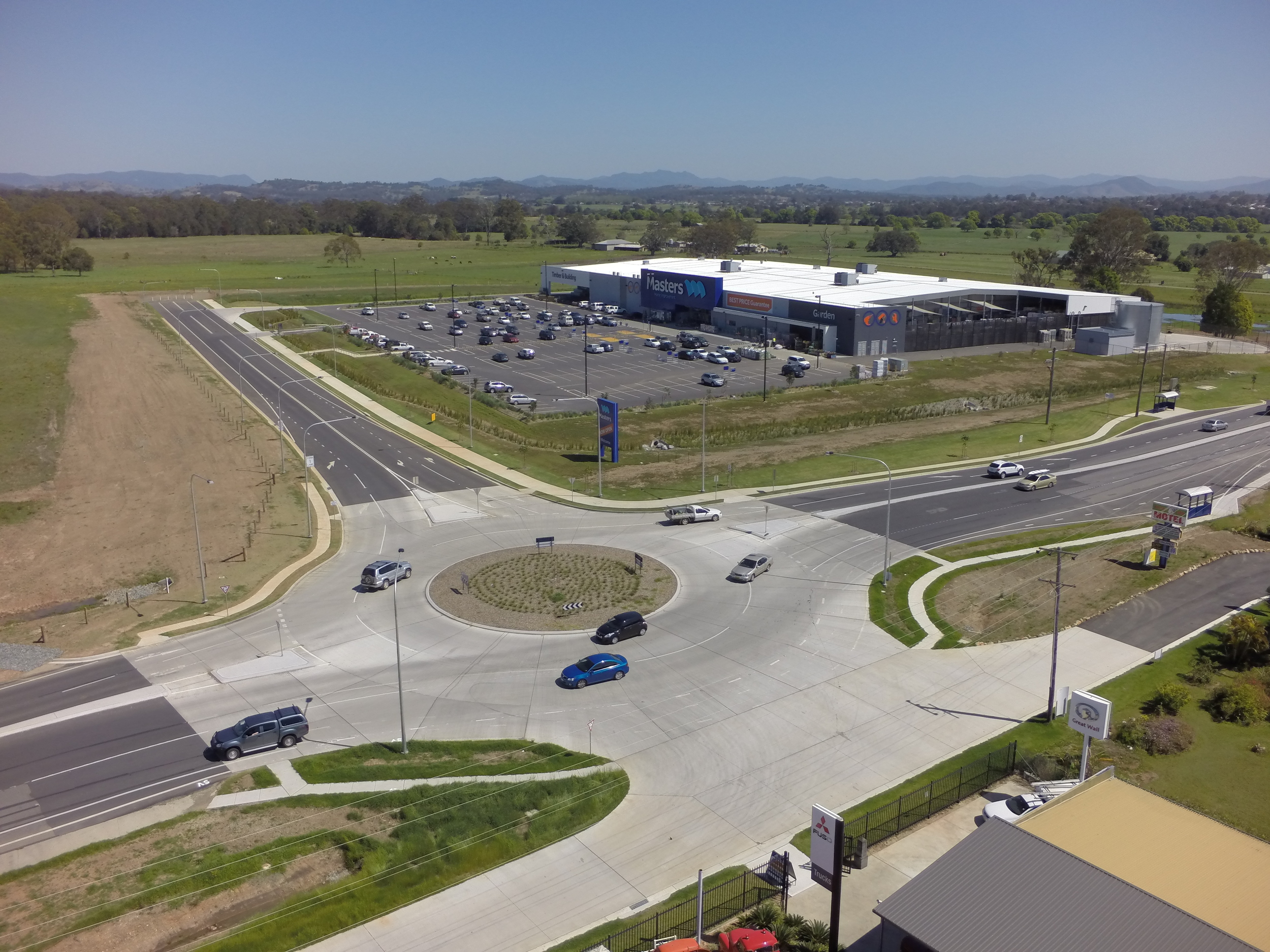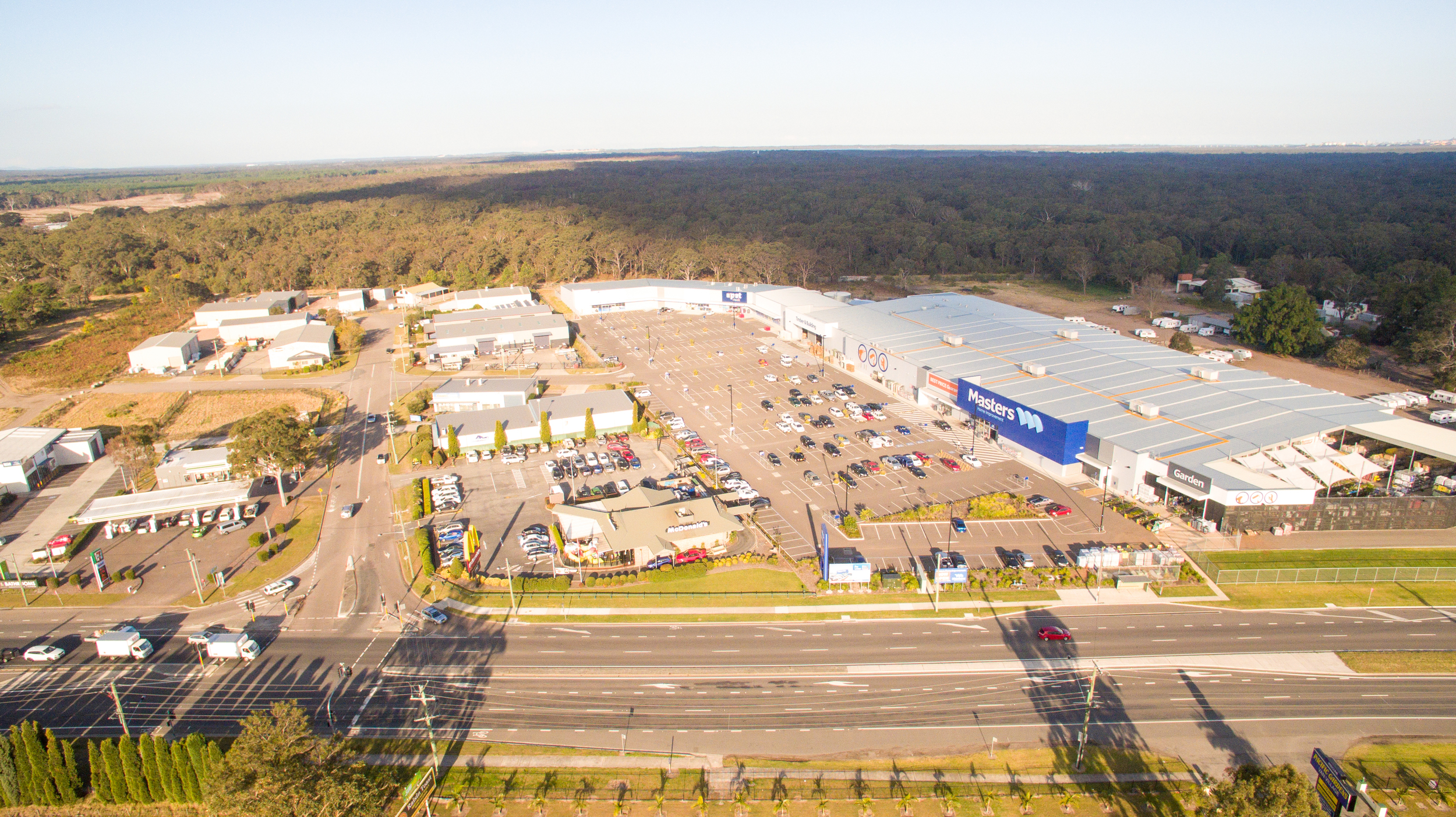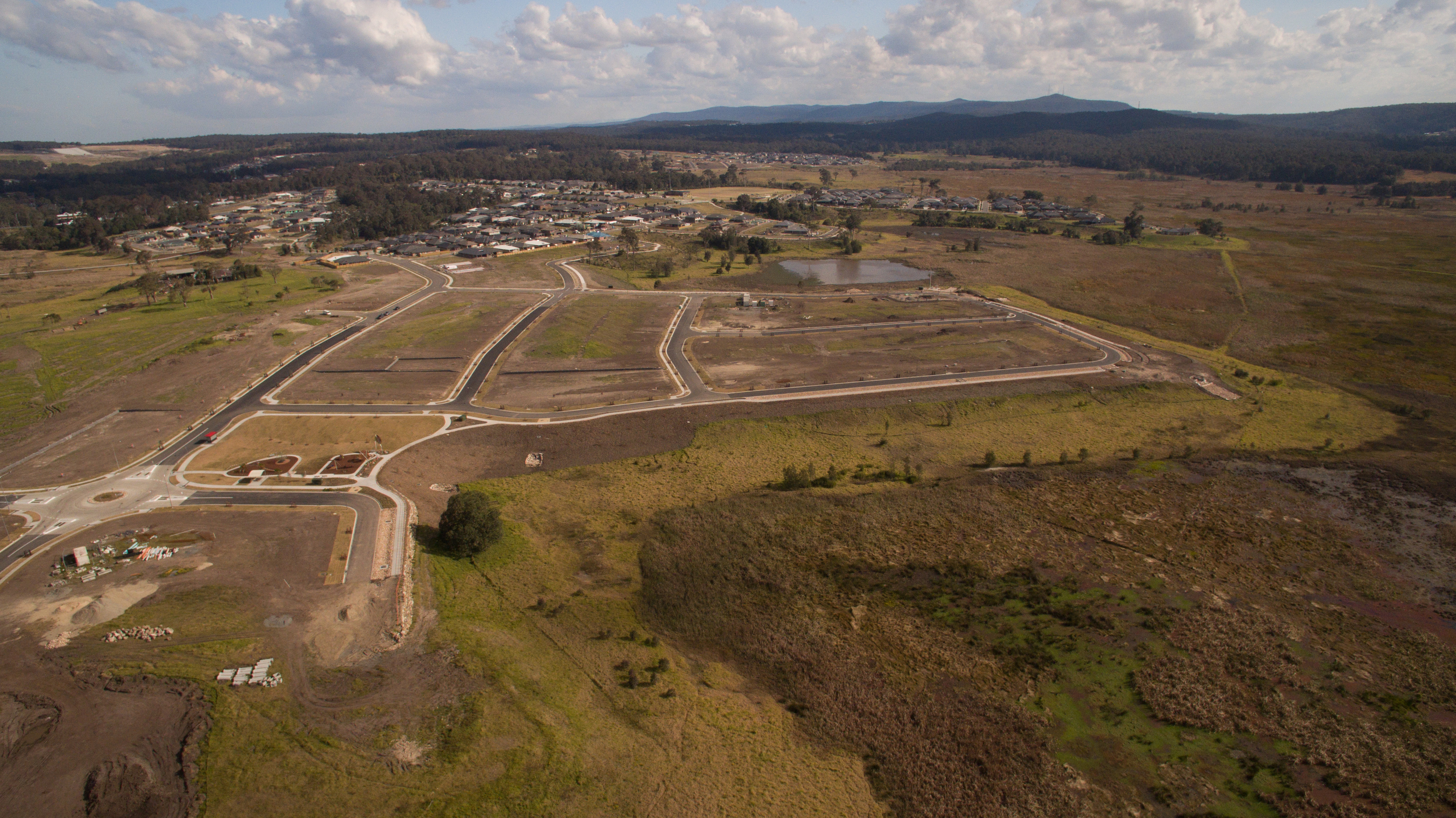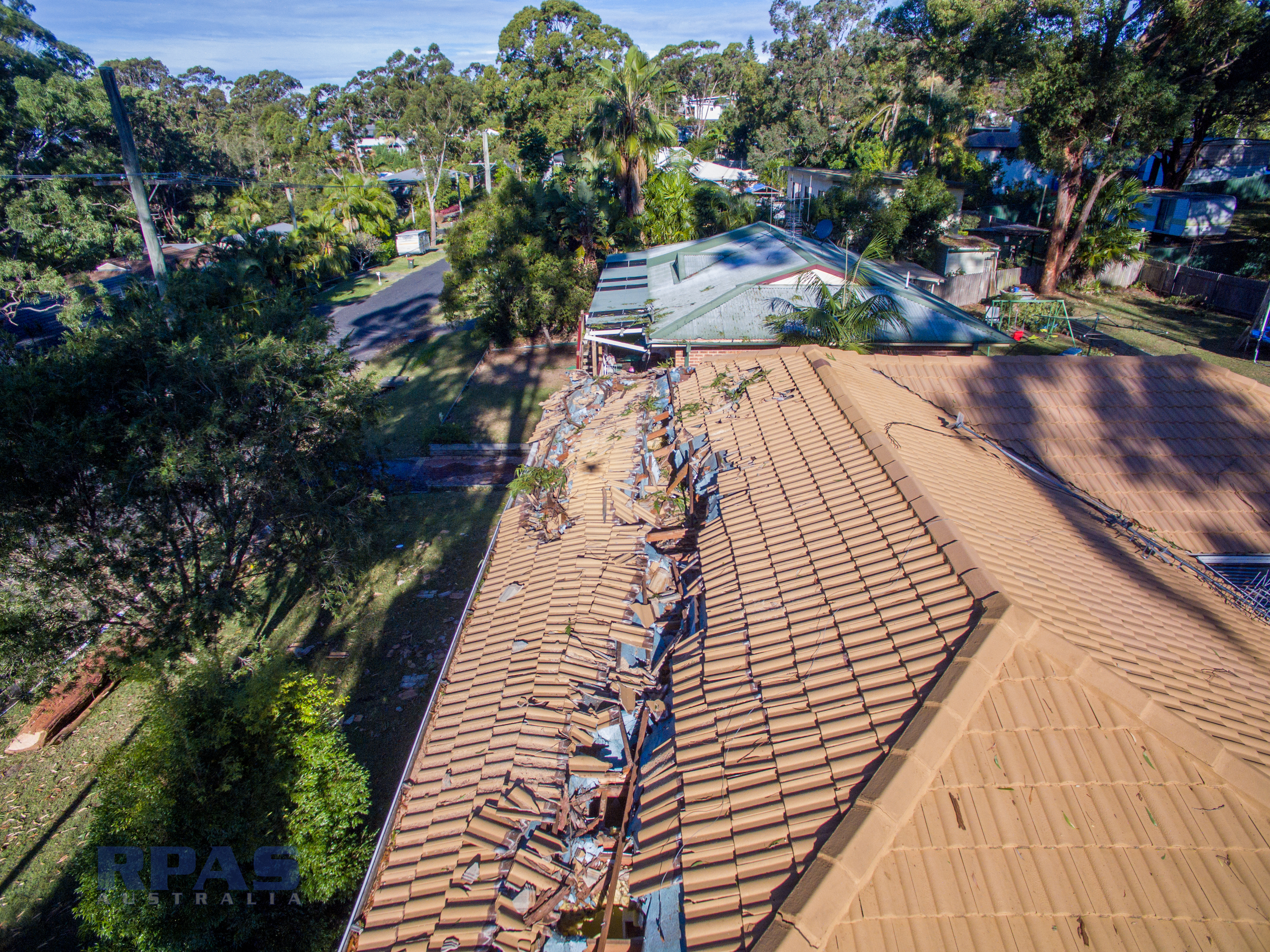
Aerial imagery and modelling enables effective communication to all stakeholders of the situation on the ground.
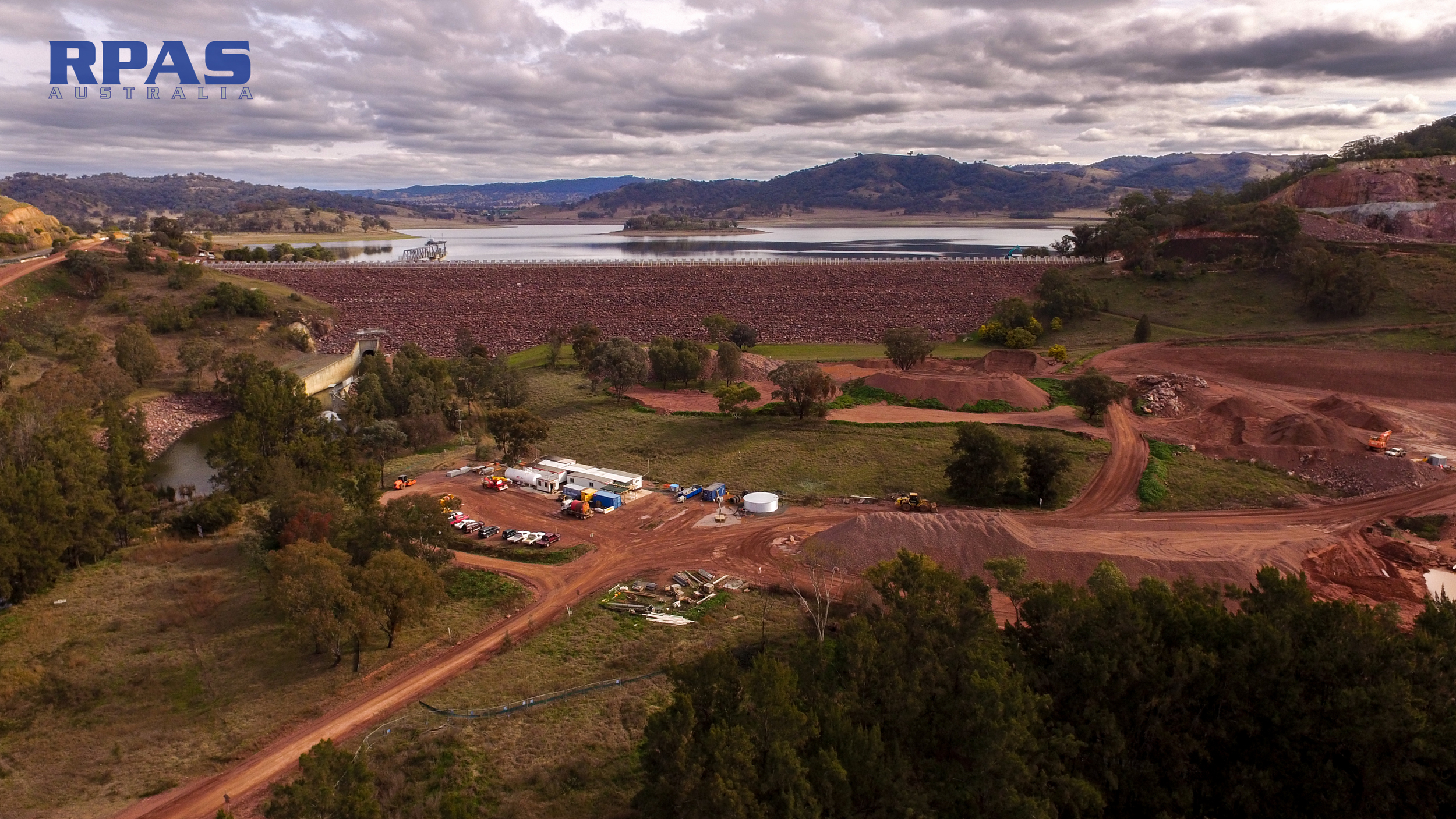
RPAS Australia can supply survey grade 3d models of the terrain before major earthworks or infrastructure begin. Having detailed models before earth works begins, aids route planning and traffic rights of way and efficient storage of materials and resources. Without a good plan, a site can quickly become snookered, a bottleneck and a nightmare after poor weather. A high resolution 3D model helps identify potential issues that a blue print tech drawing simply cannot convey.
Use RPAS Australia's High Resolution models to develop BIM and 'As built' records of the site as it progresses.
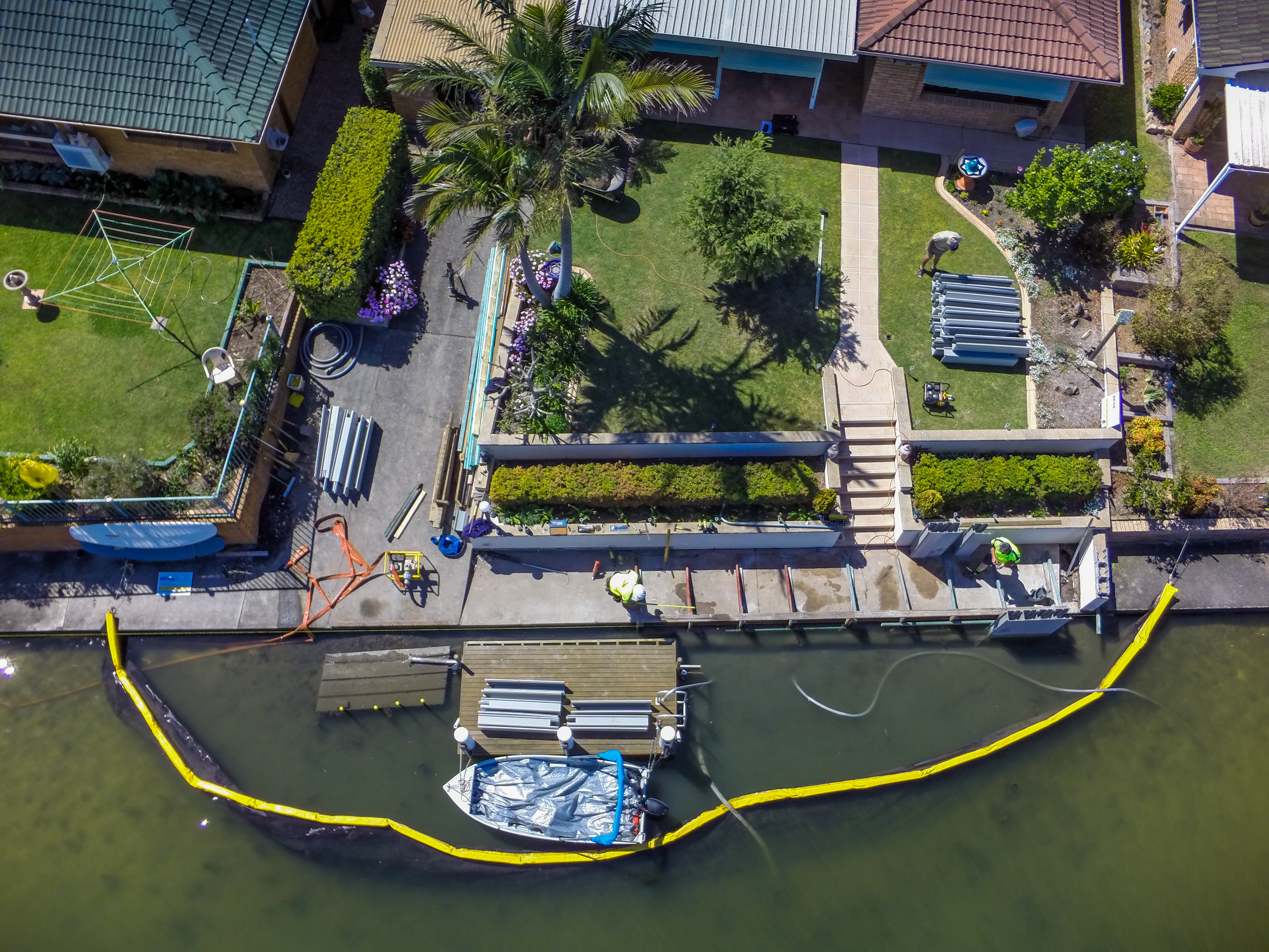
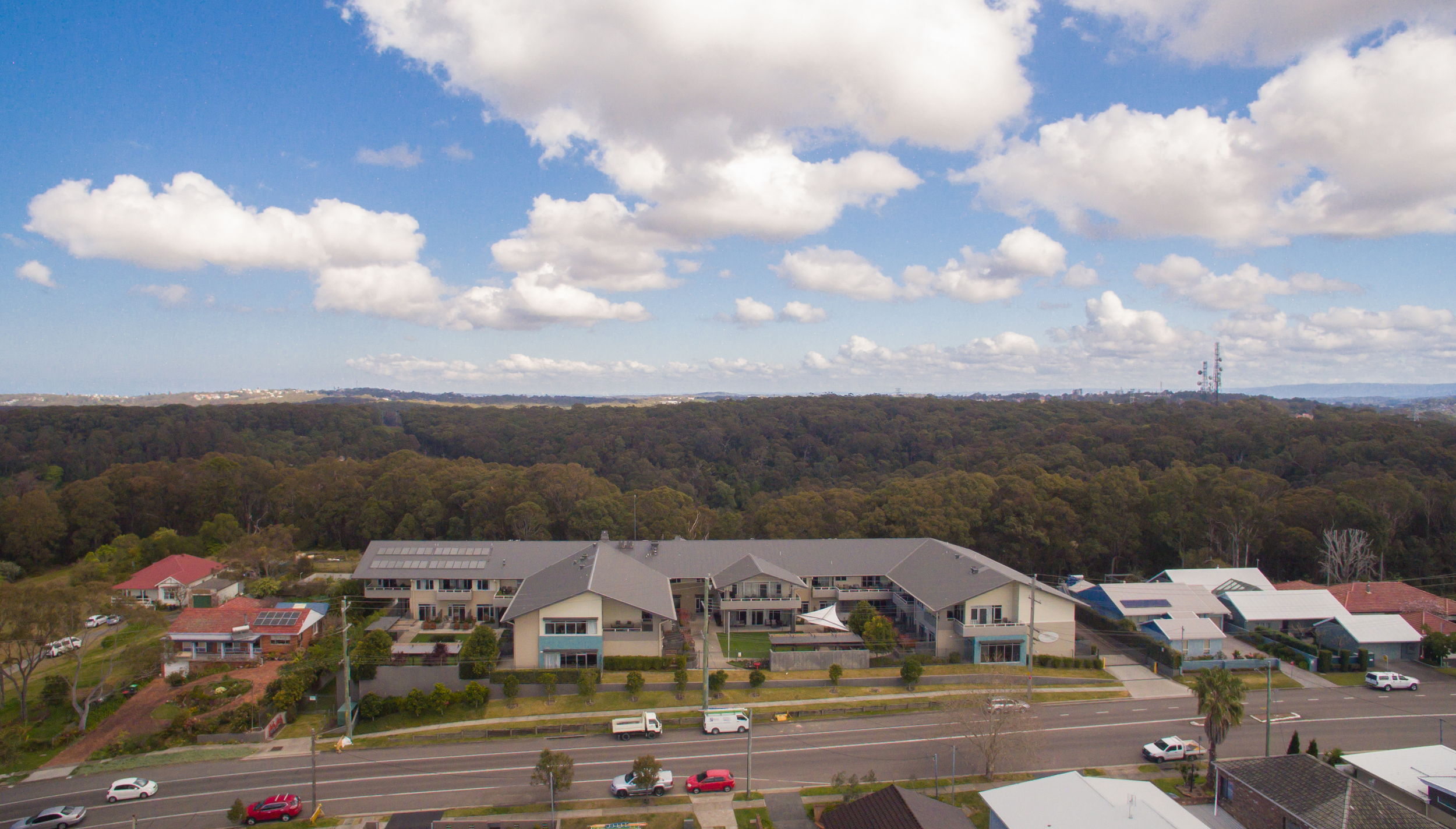
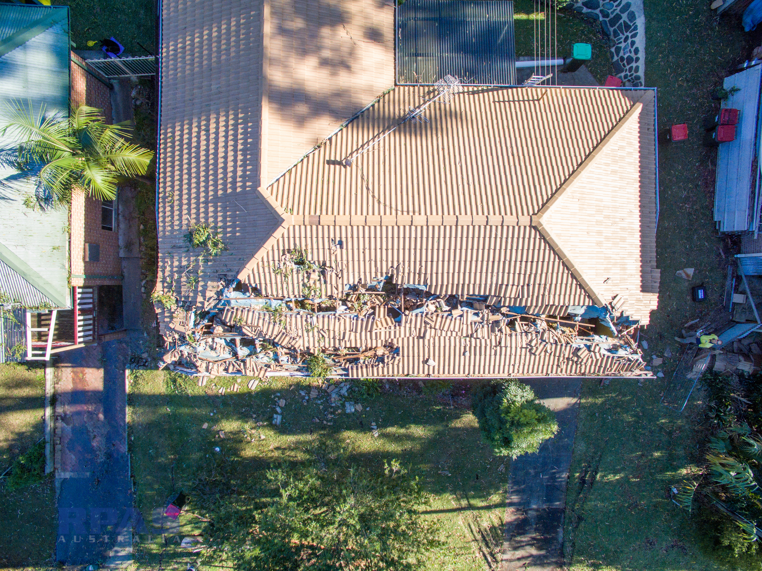
Interim progress monitoring using 360 photosphere Virtual Reality images and aerial video provide precise situational awareness.
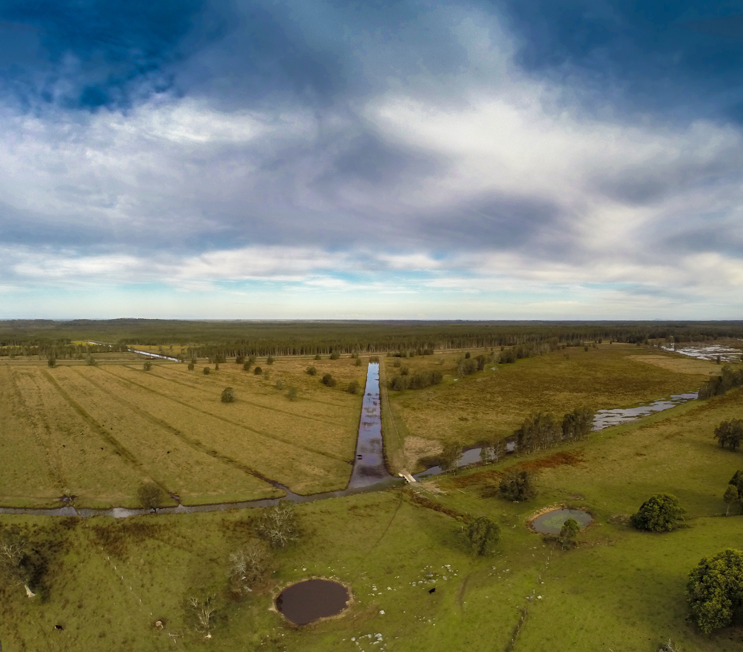
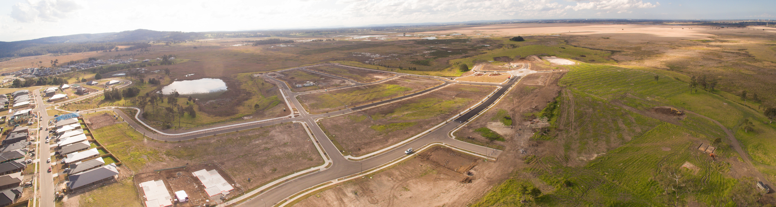
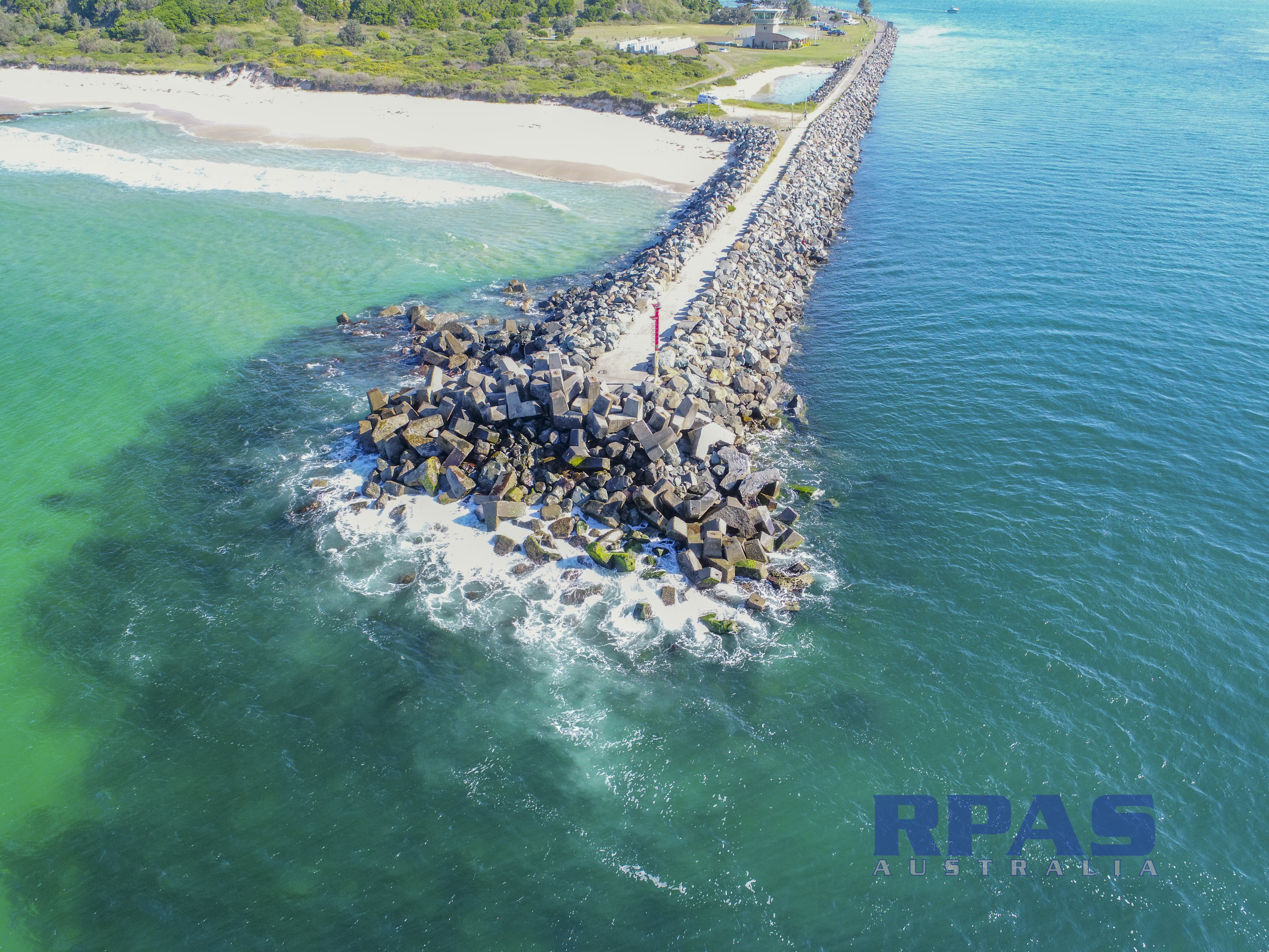
The georectified orthophotos and 3d Point Cloud can be used in any CAD or GIS software for engineering works such as:
Corridor mapping - powerline, roads & rail
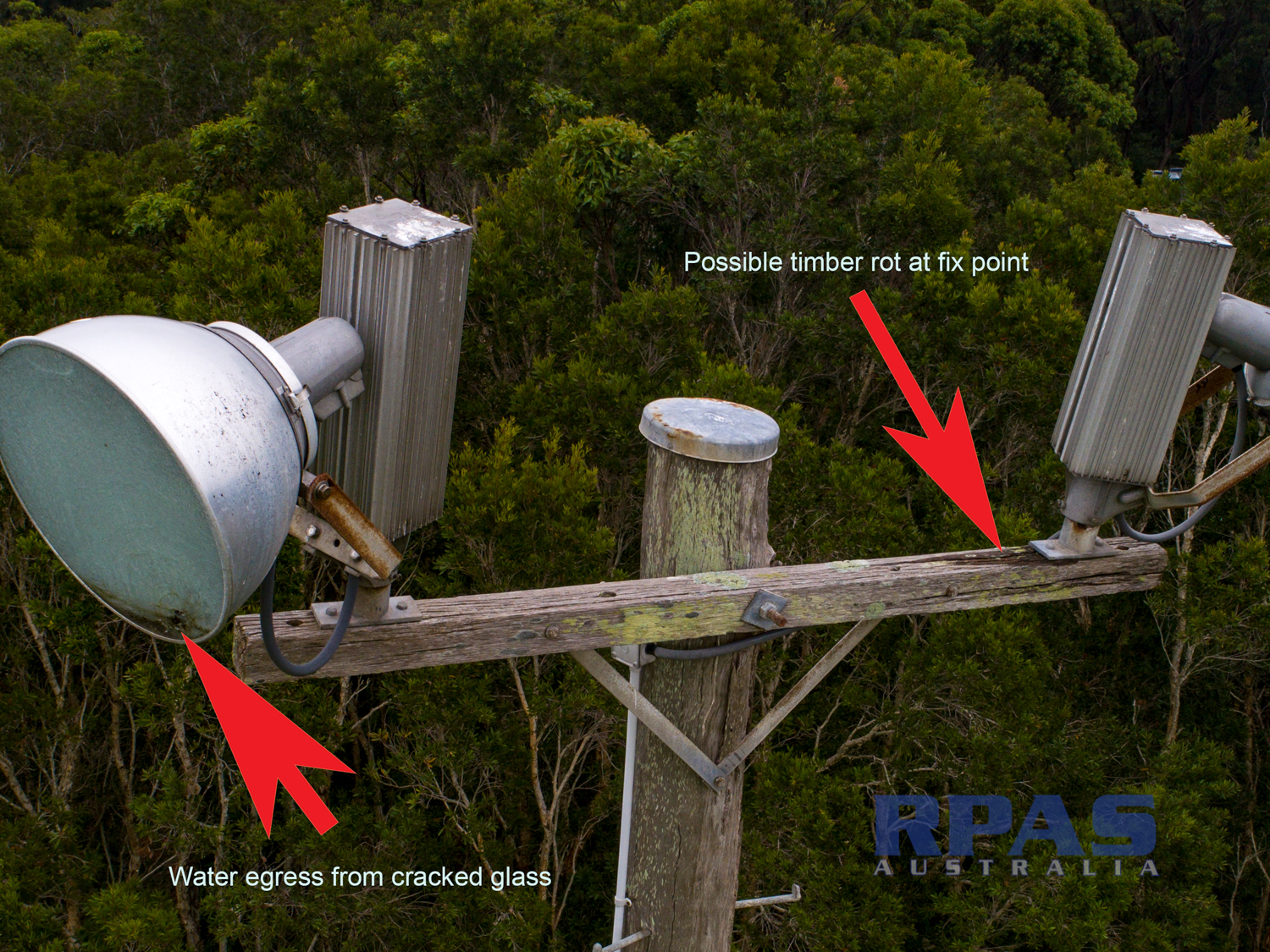
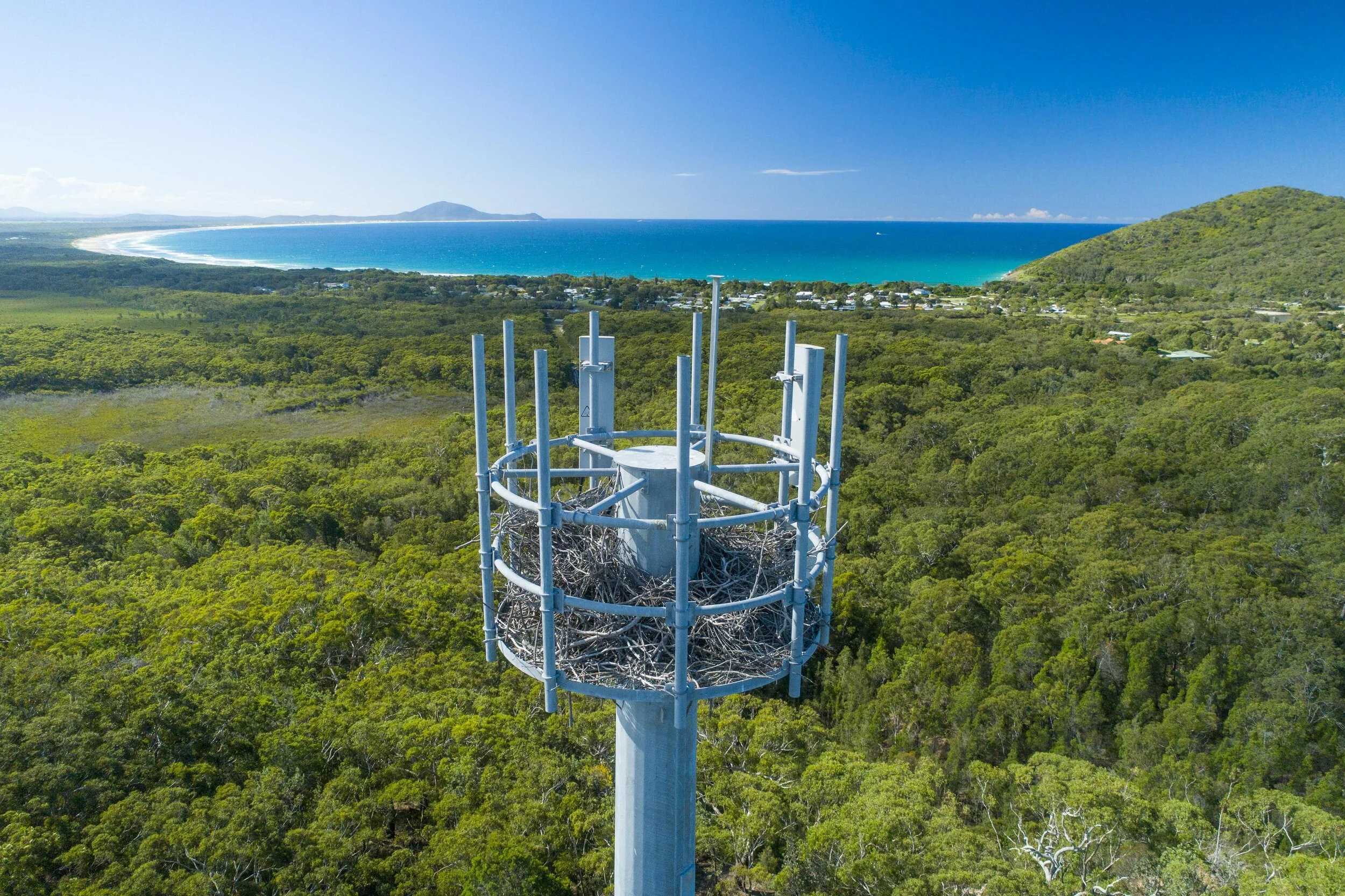
Lines of sight & radio transmission
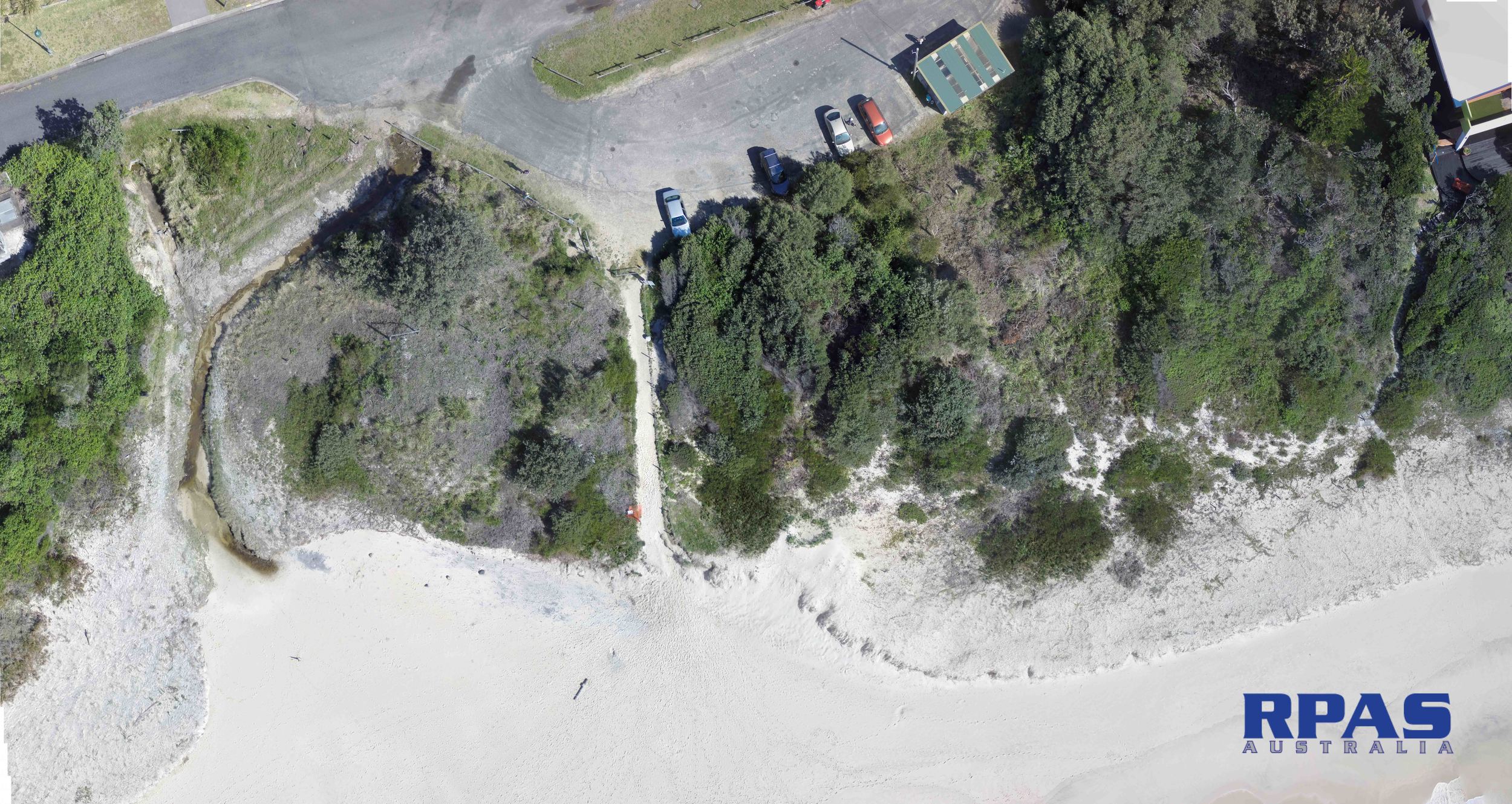
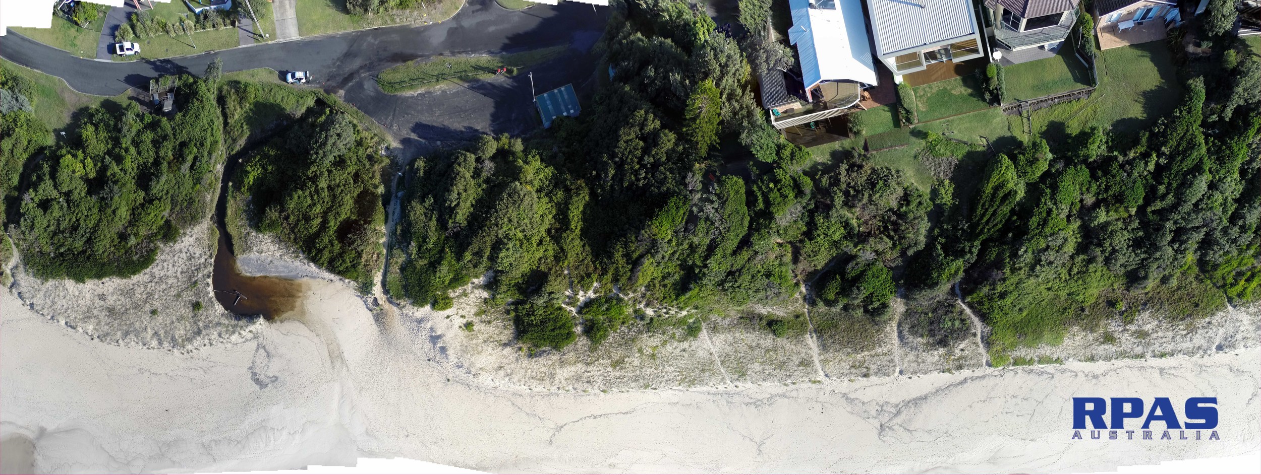
Drainage & Washout
Flood and Landslide assessment
Cut and fill calculations
Vegetation assessment
Obstructed corridors and routes
Infrastructure setting out