John Henry Tree Services
/The calm before the storm. The Henry Team worked feverishly to remove these imposing monsters from the residents backyards. Great Lakes Cranes did the heavy lifting with their 30 ton crane.

The calm before the storm. The Henry Team worked feverishly to remove these imposing monsters from the residents backyards. Great Lakes Cranes did the heavy lifting with their 30 ton crane.
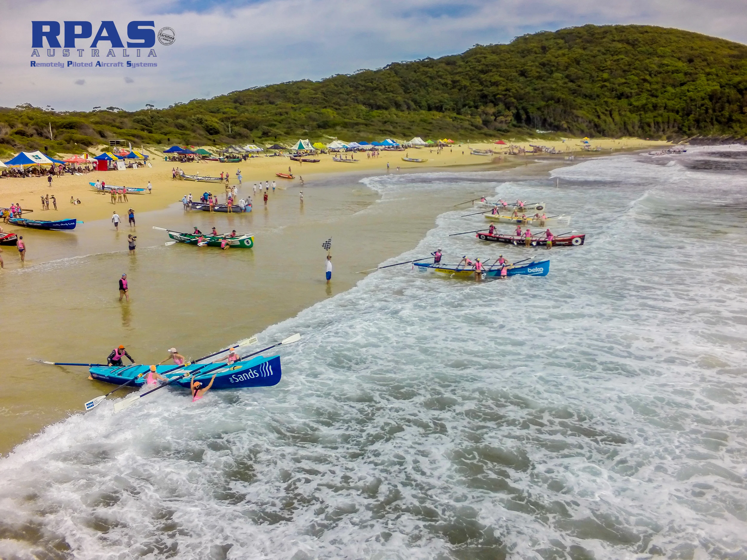
Absolutely perfect day! Both for ocean swimming and RPA flying. Crystal water and barely a breeze.
Promotional imagery for websites, print media and social engagement.
Read MoreThe following White Paper is an interesting read for those asking the important question of 'accuracy'. If you lack the patience then skip to the conclusion.
Survey accuracy by CR Kennedy with PIX4D software (one of the suites we use here at RPAS Aust.)
After years of building and flying our own multirotors, we have purchased a new multirotor (VTOL). Whilst this is down 'spec'ed' from what we are used to, it is super portable. Great for oblique stills and HD web vision of your organisation or project.

Acid Sulphate

Wetland development
Real estate agent grounded by CASA. (click for story)
“If you’re a real estate agent and using a drone to take photographs of clients’ homes, you should either be using an approved remotely piloted aircraft operator, of which there are about 110, or you need to get an operators certificate and approval from CASA," says Gibson.
The multirotor UAV/ RPA offers unlimited possibilities for capturing aerial vision footage (and stills). Capturing aerial footage has never been easier, quicker and cheaper. A multirotor, aka Vertical Take Off and Land - VTOL, can be deployed in minutes and capture imagery from location vantage points never dreamed off. These obviously include place like out over water, out from cliff edges and up close, low and slow.
This little compilation of clips provides a glimpse of what can be done.
(Watch in Youtube and in HD for better quality - bottom right hand player options)
These clips were all taken around our local area on the Mid North Coast of NSW.
Sound track is by Rufus - 'Take me'
We are very happy to have a new member to our RPA flying family. The Sensefly eBee is undergoing a few test flights. And with all the Wedge-Tail eagle activity around this time of year we will get to test the new software improvements specifically to give them a run for their money.
We have just built an improved computer system with plenty of bite to crunch all your images.
Here a cute kid presents the where with all of the Sensefly eBee UAV.
Like he says "What will you do with it?" Let RPAS Australia help you.
This is an interesting article for the surveyors out there. To be or not to be ...no long a grey question. Comparison
RPAS Australia Uses the latest UAV / Drone technology to captures high resolution aerial imagery. For all your aerial imagery, mapping surveys, inspection, GIS mapping data needs.